Property imaging and analytics from the air
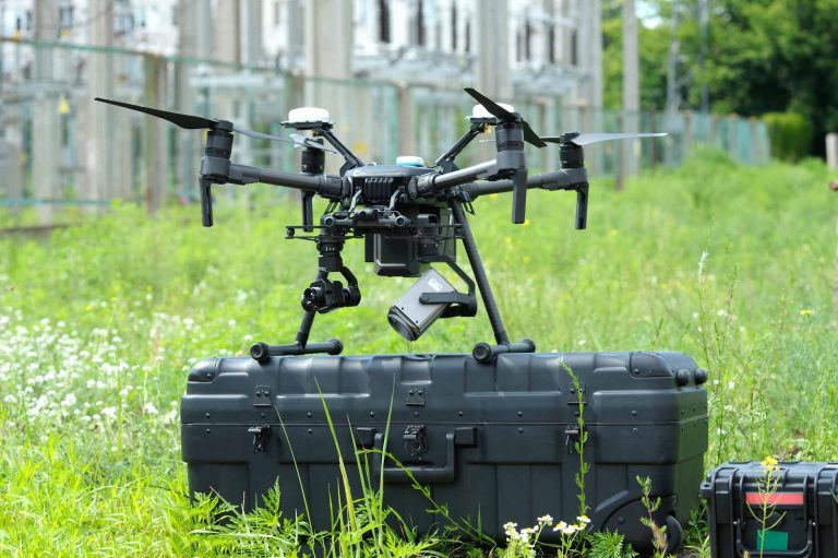
We are a leading drone operator in the industry, providing services such as aerial photography, 3D modeling, surveying, drone laser scanning, and thermal imaging in the field since 2018.
Reliability, safety, and customer satisfaction are the cornerstones of our company. We comply with aviation legislation and regulations (Traficom authorization for the specific operational category) to ensure the safety of our operations every time.
We are so confident in the quality of our services that we provide a guarantee for them – customer satisfaction is our primary goal. We operate throughout Finland with offices in Helsinki, Tampere, Turku, Jyväskylä, and Oulu, and when necessary also within the EU area. Welcome to explore the services of SK Drones Oy and experience our professionalism and quality yourself!
Contact us: info@skdrones.fi

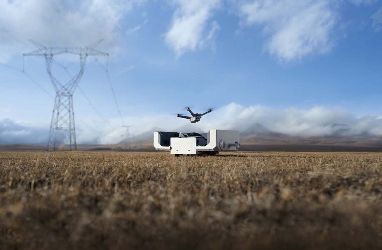
Drone technology’s versatile applications
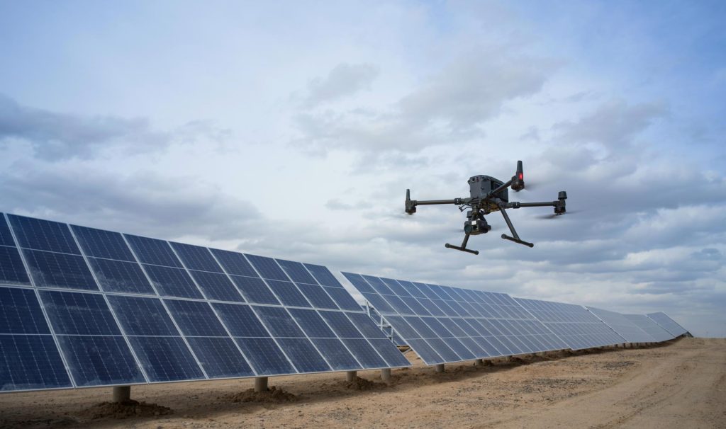
Our services cover a wide range of industrial and construction needs. In the energy sector, we provide inspection and surveying services such as detection of district heating network leaks, power line inspections, and monitoring of the condition of substations using thermal imaging and drone laser scanning. In infrastructure projects, we produce accurate surveys and photogrammetric 3D models that support planning and implementation.
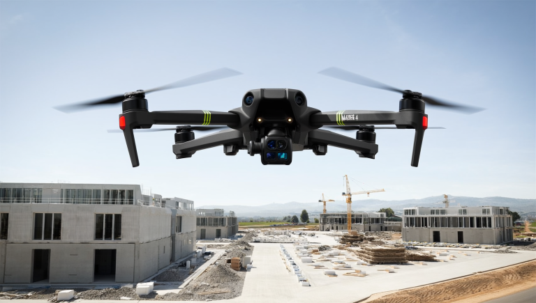
In the construction sector, we provide point clouds, orthophotos, and laser scanning data for both new construction and renovation projects. For example, in new construction projects we carry out weekly monitoring, enabling clients to accurately and visually track project progress. Our services also comply with the BIM requirements of the 2025 Building Act, ensuring that our clients meet new legislative obligations efficiently and reliably. We also assist in the deployment and operation of autonomous drone solutions.
News
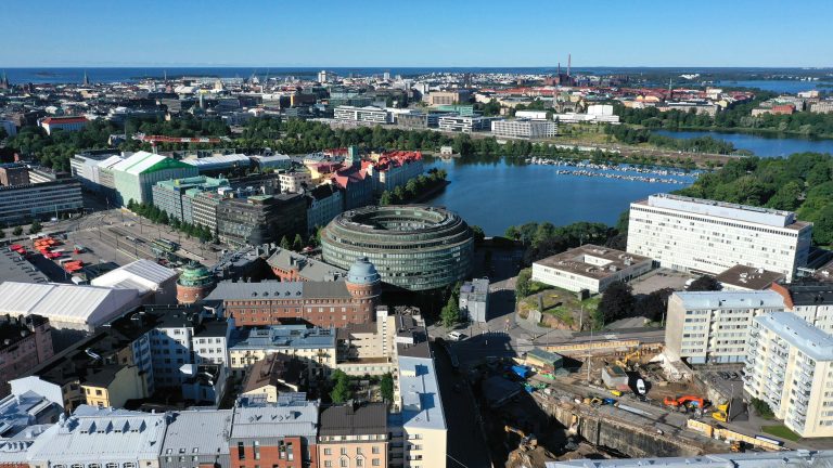
Orthophotos in land use planning
Why municipalities and cities should invest in accurate orthophotos – the foundation of future land use The development of digitalization and geospatial information has revolutionized the way municipalities and cities…
Construction project management and monitoring using drone-based photogrammetry
Construction projects are often multi-phase and schedule-challenging entities in which success depends on accurate monitoring, documentation, and information flow. One of the most effective modern solutions for this is drone-based…
Artificial intelligence and autonomy in drone technology
Drone technology is developing at a rapid pace, and future solutions will not only be more efficient and accurate, but also increasingly independent and intelligent. SK Drones Oy believes that…

Drone modeling to support the requirements of the 2025 Building Act
The construction industry is facing a major transformation as Finland’s new Building Act enters into force in 2025. With the reform, building permit processes will become increasingly digital, and the…
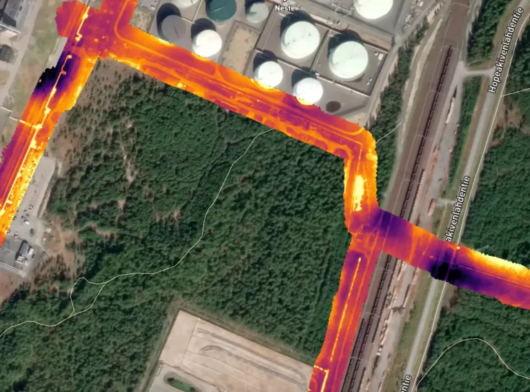
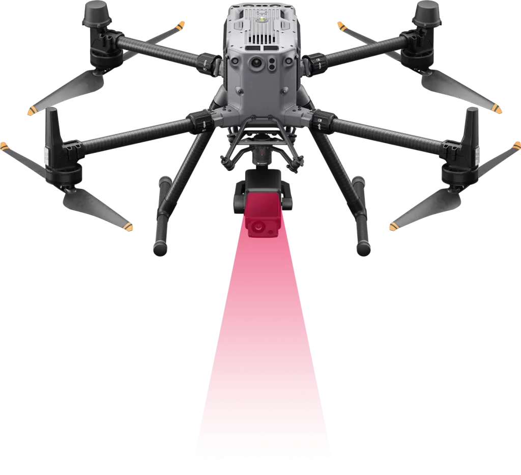
Thermal camera drone detects heat leaks in the district heating network
District heating networks are a critical part of our energy system. Their efficient operation and maintenance require accurate monitoring, as heat and water leaks can cause significant financial costs and…
Photogrammetry carried out with a drone
As technology develops rapidly, so do the opportunities it offers in many fields, especially in surveying and geospatial mapping. One significant advancement is the combination of drone-based photogrammetry and GNSS-RTK…

Contact us
Would you like more information about our services? Feel free to contact our team.
References